
")
")
")
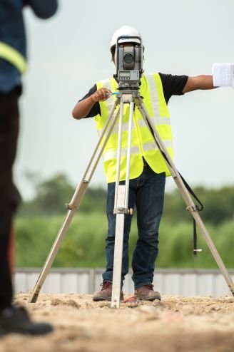
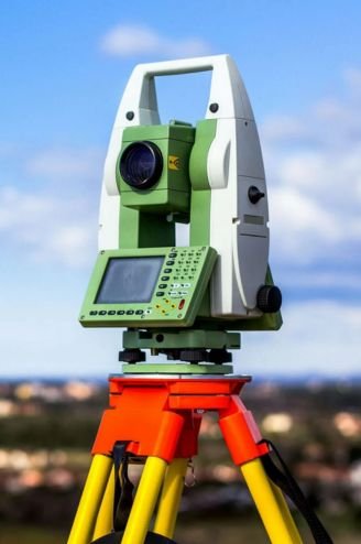
Land Survey
Contour Survey
Area Calculation
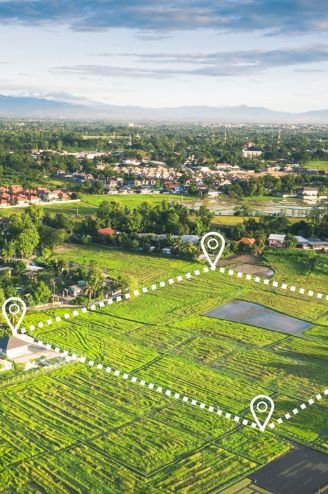
Plot Division
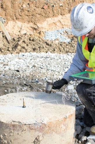
Pile Point Marking
Column Marking
Boundary Fixing
Road / Route Survey